Participants: Just me
Where: Creag Choinnich, 538m/1,765', Tump, OS 43, NO 161 919: Mount Blair, 744m/2,441', Graham, OS 43, NO 167 630
I wasn't sure whether I'd climbed Creag Choinnich at Braemar years' ago so on a beautiful Saturday, I decided that I'd better go and make sure that I'd earned the tick against its name in the Tump list. It is easily accessed from the main car park and there is a good path all of the way up through an old pine forest. I love walking in the Deeside pine forests.....

The top is clear of most of the trees but there is new growth so views might be a bit restricted in a few years time. There is a big stone circle to shelter in if it is a windy day but that most certainly wasn't necessary today- there was hardly a breath of wind.....

The hill is perched right above Braemar and although not particularly high, provides fine views of the surrounding countryside. Well worth the little effort required to get up. Here are samples of the view.
Looking across to Morrone, a fine Corbett on the other side of the village.....

Over Braemar to the more distant high Cairngorms.....

To two of the Cairngorm giants, Beinn a'Bhuiridh and Ben Avon.....

To the Corbett, Culardoch.....

Looking along the Dee valley with Braemar castle on the left.....

The sun was warm so I wandered about for a while lapping it up and admiring the views. This is one hill definitely worth doing if you have an hour to spare in Braemar on a good weather day. And it leaves plenty of time to do something else. I did contemplate doing one of the smaller hills towards the Linn of Dee but eventually settled on driving 15 or so miles down the road and stopping off at Mount Blair, which I hadn't visited for a number of years. This is the view of it from the Glenshee road.....

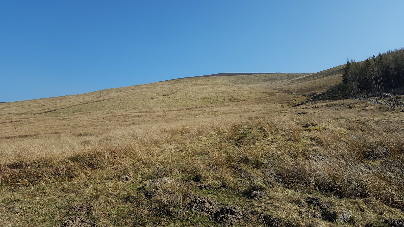
There is a parking area at the edge of the forest to the west of the start point for the hill (on the B951) with space for half a dozen cars. There were a number of cars there but I guess that their occupants must have been climbing Mealna Letter, the Graham to the north, as I saw no one on Mount Blair. From here, Mount Blair is one long, even angled slope.....
but there is a track all the way and it was just a case of plodding on trying not to look at what lay ahead. I stopped from time to time to look back at Mealna Letter; there was a herd of what must have been a couple of hundred deer grazing on its slopes. You might just be able to make them out in this picture- they are straight down from the left hand top.....

Higher up, I went through a gate in a fence and the terrain changed from grass to heather; however, the path continued. Looking back, I could now see a number of the hills towards Braemar with some of the Cairngorms just visible on the horizon.....

Approaching the summit- very cluttered with the telecommunications mast dominating.....

There was also a cairn, a trig, a number of buildings, and a topograph.....


Last time I was here, the topograph was in a bit of a state of disrepair but it had had some work done on it since then and is a really magnificent guide to the many, many hills that you can see from here.....

I returned to the car by the same route.
By the way, all of my photos this year have been taken on my phone. It seems to take better- or at least as good- photos than my DSLR and of course is much easier to carry. The camera might be better in poorer weather though.
1 comment:
Fine views from both hills. The east coast ranges do have a different feel to them- drier, usually sandy or golden granite grit underfoot, huge skies above. I like them.
Post a Comment